Mars is famous for its dusty red deserts, but a striking new view from the Mars Express orbiter shows just how powerful the planet’s winds can be. Captured by the spacecraft’s High Resolution Stereo Camera, the scene spans a vast stretch of terrain—nearly the size of Belgium—and reveals a landscape shaped by nature’s own sandblasting.
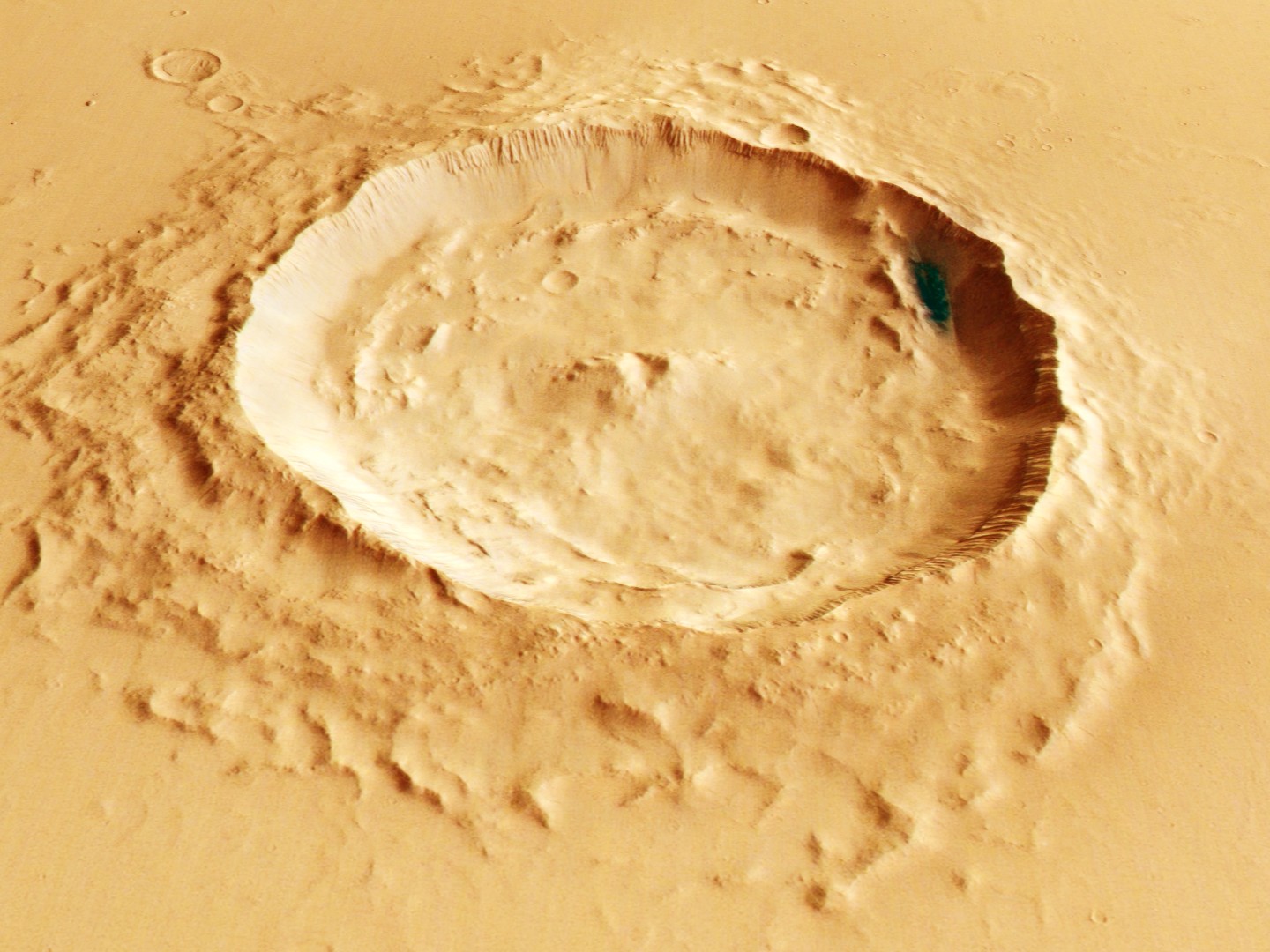
On the left side of a fresh-looking impact crater near the Eumenides Dorsum region, long ridges cut across the ground like scratches etched into stone. These features formed when strong Martian winds swept up sand and grit and hurled them across sedimentary rock. Over time, the abrasive particles wore away the softer layers while tougher layers resisted erosion, leaving behind streamlined rock sculptures known as yardangs.
One of the most useful clues in this image is that the yardangs all tilt in the same direction. That uniform “lean” tells scientists which way the dominant winds were blowing when these formations took shape. It’s a natural record of atmospheric patterns—captured not in weather charts, but in rock.
This view also highlights three distinct types of terrain working together to tell the story of Mars: the yardangs themselves, the impact crater, and a subtler feature called platy flow. Platy flow forms when lava develops a crust on top while molten material continues moving beneath it. As the lava keeps flowing, the hardened surface breaks into solid plates that shift and rearrange—similar to ice floes drifting on Earth.
What makes the scene especially intriguing is how these features overlap. The platy flow appears to sit beside and beneath the yardangs, leading scientists to suspect the yardangs formed later, after the lava-related surface had already settled into place. In other words, this single image doesn’t just look dramatic—it helps researchers piece together the timeline of events that shaped this part of the Red Planet.
Observations like these are more than beautiful snapshots. They provide essential data about Martian geology, erosion, and environmental conditions over time. That knowledge could prove valuable for future exploration, including missions that may one day place humans on the Martian surface and require a deeper understanding of the terrain they’ll encounter.


