Arabia Terra, a vast region in the northern part of Mars’ southern highlands, is like a time capsule from the planet’s earliest days. Scientists consider it one of the oldest landscapes on Mars, with terrain dating back roughly 3.7 to 4.1 billion years. This places it in the Noachian period, an era when the young solar system was chaotic and violent, and planets were routinely struck by asteroids and comets. Those ancient impacts still shape the Martian surface today, preserved as scars that help researchers reconstruct how Mars evolved.
One of the most striking features in the newly captured view is Trouvelot Crater, an enormous basin about 130 kilometers wide. Its great age is written into its weathered appearance: the crater rim looks heavily eroded, the inner slopes show terraced walls, and smaller craters overlap it—classic signs that this impact structure has endured for immense stretches of time. Nearby, scientists have identified an even older crater whose rim has been worn down so severely it is almost gone, reinforcing the idea that this area has remained exposed and reshaped over billions of years.
The crater floors reveal more clues. Some areas appear noticeably darker, and researchers suspect the color comes from mafic minerals—materials commonly found in volcanic rocks. If confirmed, this could point to volcanic influences or lava-related deposits that affected parts of the region long after the original impacts occurred.
Trouvelot Crater also features curved dunes known as barchan dunes. These crescent-shaped formations typically develop where winds blow steadily from a consistent direction, and their presence offers valuable insight into Martian wind patterns and how the atmosphere continues to move sediment across the landscape.
Perhaps most intriguing are the light-colored mounds seen within the area. These mounds contain minerals that generally form through interactions with water. While this doesn’t automatically confirm long-lived lakes or rivers at this exact spot, it does strengthen the case that water-related processes may have occurred here at some point in Mars’ past—an important piece in the larger puzzle of the planet’s climate history and its potential habitability long ago.
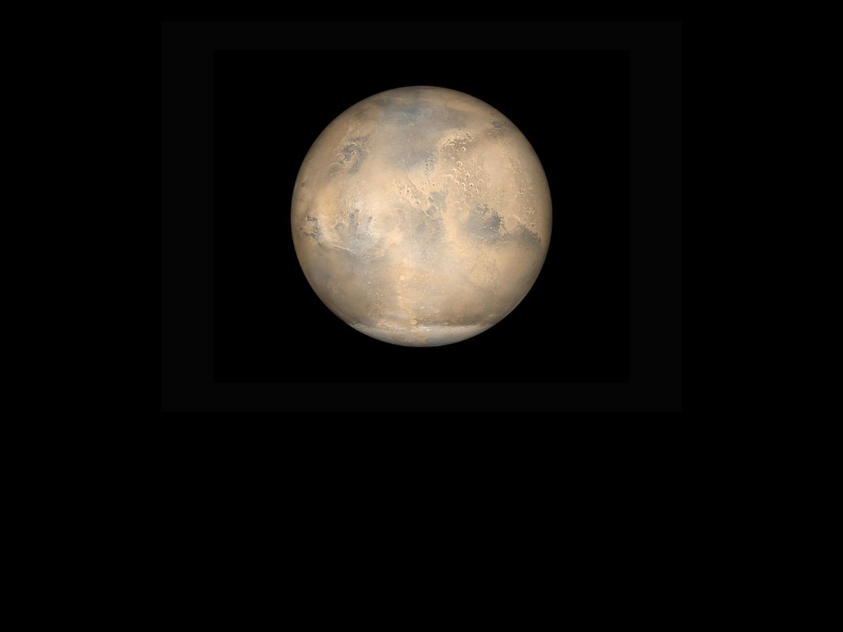
The image was captured by a high-resolution stereo camera aboard Mars Express, an orbiter launched by the European Space Agency in 2003. By mapping fine surface details and topography, Mars Express continues to help scientists trace the story of Mars—how impact bombardment, volcanic materials, wind activity, and possible water-driven mineral formation all combined to shape regions like Arabia Terra. Each new observation adds detail to the timeline of Martian geological history and sharpens our understanding of what the Red Planet used to be—and how it changed over time.


