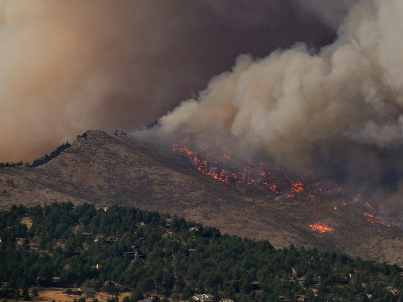
After a wildfire, the danger doesn’t end when the flames go out. Burned hillsides shed ash, rocks, and debris instead of soaking up rain, turning even modest storms into flash floods and muddy torrents that can contaminate drinking water. To help communities prepare for these post-fire threats, NASA is backing the development of HydroFlame, a new online tool built to forecast mudslides, debris flows, flash flooding, and water quality risks in the wake of wildfires.
HydroFlame uses satellite observations to map what’s happening across scorched landscapes and the watersheds that drain them. Those space-based views capture changes in vegetation, soil conditions, and burn severity. The platform blends that information with stream records from gauged rivers to build hydrologic models that simulate how water and sediment will move through a watershed after a fire. In places without gauges, machine learning fills in the gaps, allowing the system to extend predictions to ungauged basins where communities often have the least information.
The result is a forecast that pinpoints where flash floods and contamination are most likely, giving emergency managers, water utilities, landowners, and residents a head start on mitigation. The tool is being designed with three key components:
– A historical viewer that lets users explore past fires and their impacts on water flow and quality
– A what-if scenario builder to test how different storms or recovery actions might change outcomes
– A predictive module that generates weekly forecasts to highlight near-term risk
The historical viewer is available, while the scenario builder and weekly forecasting engine are still under active development.
Early results are encouraging. In a recent real-world test, HydroFlame correctly anticipated mudflow events that followed the January 2025 wildfires in Los Angeles. Although no ground sensors were in place to directly verify those events at the time, the forecast alignment with what occurred on the ground serves as a practical validation of the tool’s approach.
Right now, HydroFlame’s data and modeling are focused on Montana’s Clark Fork Basin. Expansion plans are underway for California and Utah—areas where post-fire flooding and debris flows pose a recurring threat, especially during intense winter storms or sudden downpours. As coverage grows, the platform could help more communities translate burn scars into clear, actionable risk maps.
Why this matters for post-wildfire recovery:
– Faster, clearer situational awareness after a fire, when landscapes are most vulnerable
– Better-informed decisions on road closures, debris management, and evacuation readiness during storms
– Insight for water utilities on potential sediment and contaminant surges entering reservoirs and treatment plants
– A consistent, satellite-informed view of changing conditions across entire watersheds
From a technology perspective, HydroFlame stands out by combining high-resolution satellite data, stream gauge records, and machine learning into a single, watershed-scale forecasting system. That integration is crucial, because many of the most at-risk locations are precisely where monitoring networks are sparse. By projecting conditions in those data-poor areas, the tool aims to close an information gap that has long complicated post-fire planning.
As climate change lengthens fire seasons and intensifies storms, communities need ways to anticipate cascading hazards—mudslides, debris flows, and water contamination—that follow in a wildfire’s wake. HydroFlame is being built to deliver those insights before the next storm hits, so responders and residents can act sooner, protect drinking water, and adapt recovery plans to what the landscape will do next.